


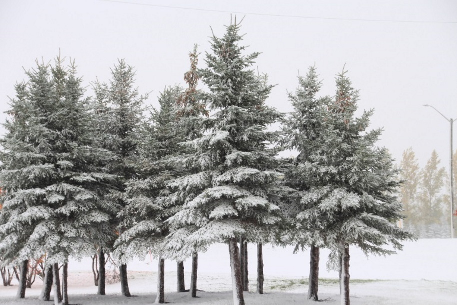
The storm system moving through the area is progressing much the way forecasters have expected so far. This morning, we're waking up to an average of about 5 cm of snow, with that amount slightly lower or higher more depending on where you call home. Amounts are higher as you head south of the Trans-Canada highway. It's the first round of wet snow across the region as a Colorado low moved through Southern Manitoba last night and overnight. Special Weather Statements remain in effect for our region, with significantly more snowfall on the way between now and Friday afternoon.
"I want to be clear, this is only the first wave of what will be at least two or three additional rounds of snowfall associated with this system," stressed CMOS Accredited Weathercaster Chris Sumner Wednesday morning. "The impacts from this winter storm are just getting started, and the forecast continues to line up with our initial projections of 10 to 20cms of snow, overall, by Friday evening. Over areas of higher terrain, for example, the Manitoba escarpment and Western Manitoba, we could see totals near that 30cm mark."
It's no surprise with the wet snow sticking to surfaces as it falls that almost all highways in the area are covered with some snow and ice. Even though conditions are less than desirable, all highways remain open.
For the latest Road Report and Cancellation information, click here.
Sumner noted periods of on-again-off-again snow will continue throughout Wednesday morning, afternoon and evening. A further 5 cm of heavy, wet snow is expected during the day, with an additional several centimeters tonight into Thursday.
"Right now, I'm expecting another 5-10cms over the course of Wednesday, another 5-10cms Thursday, with more flakes adding up to a few more centimeters Friday," he said. "Again, this Colorado low is unique in nature, considering most drop the majority of their precipitation in a much shorter timeframe, whereas with this one, we're talking about a 72-hour period or more, before snowfall finally wraps up. That's due to a number of reasons including an area of blocking high-pressure east of the low which is slowing it to a crawl, as well as the system being reinforced with moisture multiple times as it continues to draw in air from the Gulf of Mexico."
Environment Canada continues to expect this system to remain below Snowfall Warning criteria, which would require 10 cm or more of snow within 12 hours or less, which isn't what forecasters are expecting at this time. With that said, Sumner pointed to the fact, even though Warnings may not be issued, much of Southern Manitoba will receive well above that mark over the duration of the system's time impacting the province.
Winds will remain relatively light Wednesday, tonight, and to start Thursday, but as the low finally starts to meander eastward, northerly gusts up to 70 km/h. Combined with the expected falling snow at that time, reduced visibility will be a concern.
"At this point, we're expecting the wind to pick up by Thursday afternoon, and continue to be strong overnight into Friday morning," he said. "With the additional snowfall expected on Friday, even though it may only be a few centimeters, blowing snow will be something to keep in mind, on top of the already challenging driving conditions from the heavy, wet snow the day before."
Conditions are expected to improve Saturday, with a surge of Arctic air, and a return to seasonal or below-seasonal temperatures heading into next week.
"As that Arctic air-mass builds into the region Friday, we'll see temperatures slide back to seasonal, so around -7 to -9 for daytime highs," said Sumner. "That downward trend will continue over the weekend, with highs sinking further to -11 to -15, and by the time the last week of school before Christmas break begins, we may be looking at highs around -20."


 Sat, May 18, 9:00 AM
 Full-time, Manufacturing
 Featured


